20 year Burned Area time series for South Africa from Landsat data
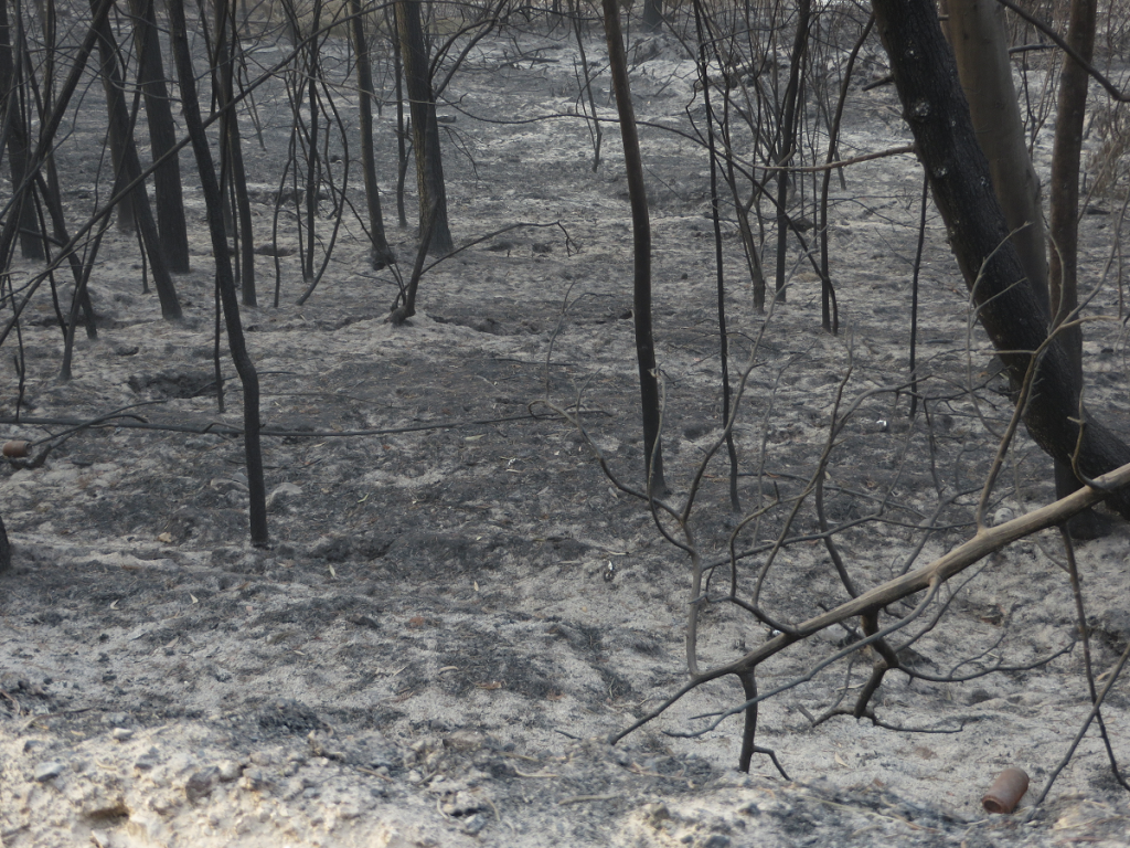
Long-term fire patterns determine tree-grass dynamics in savannas and grasslands and drive of change in the fynbos biome. The fire history of an area furthermore determines the vegetation fuel type and fuel amount, which in turn influence the risk of current and future fires, especially in the urban-wildland interface. The description of the occurrence, distribution, size, and interval period of fires, is known as fire regimes and it may change over time due to variation in rainfall patterns, land use changes and fire management practices. In this project an automated Landsat burned area mapping system was implemented to create a time series of burned area products from the complete 20-30 year archive of Landsat data. The data products will provide a history of fire occurrence for fire risk assessment and characterising changes in fire regimes.
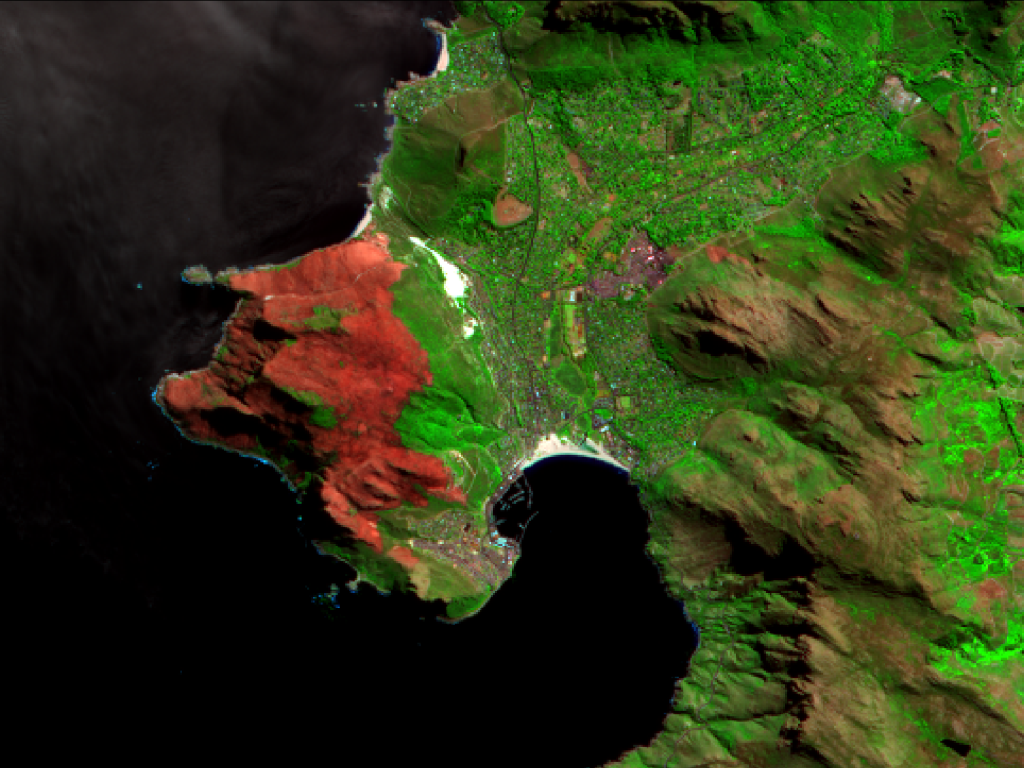
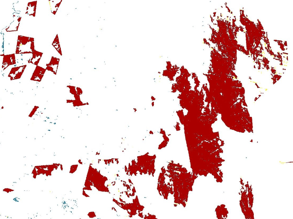
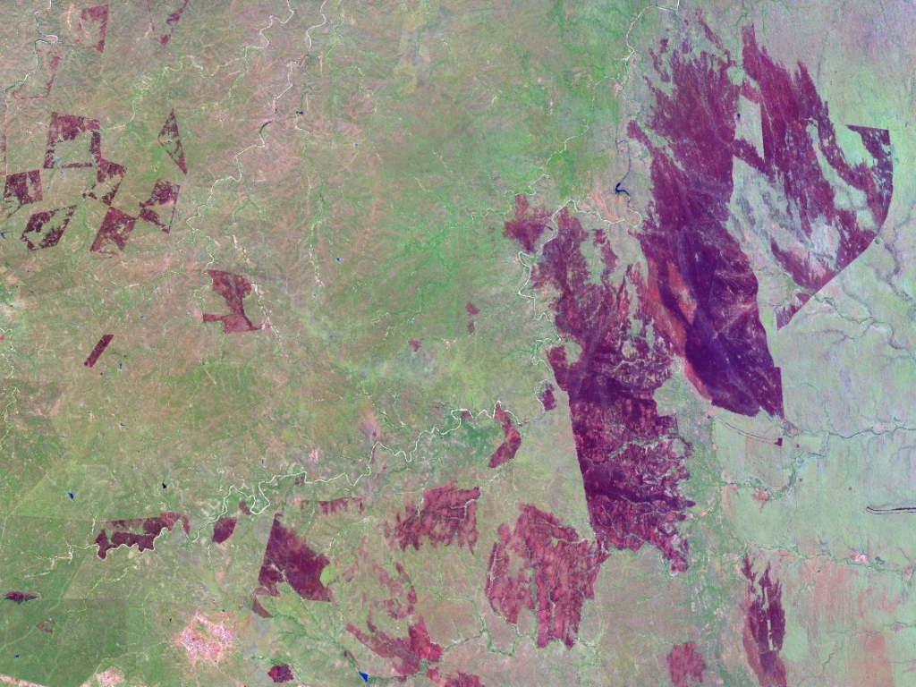
We collaborate closely with the Queensland Remote Sensing Centre (Australia) who developed the Landsat pre-processing and burned area mapping approach. The system utilises spectral, thermal, temporal and contextual information in a time series approach to perform automated classification of burned areas. Burned pixels, associated with a large decrease in surface reflectance, are identified as negative outliers from a median smoothed time series that serves as a reference. These negative outlier pixels were used to map the spatial extent of change areas using a watershed region growing operation, in which thresholds were optimised to limit under/over growing of regions. A classification tree was developed to attribute burned vs. unburned change objects based on a number of spectral indices.
Validation of six test areas produced high accuracies and processing of the rest of South Africa is underway. Due to the very large volume of data (> 18 000 Landsat images) we are testing the implementation of our system at Center for High Performance Computing (CHPC), the largest supercomputer in Africa, managed by CSIR-Meraka.
The output products do not only quantify past and present fire activity, but provide valuable information to fire management practices and resource management decisions. Furthermore, this system is a unique capability in Africa that delivers objective and repeatable maps of burned area from a long term Landsat time series.