Coastal Systems and Earth observation
The CSIR’s Earth Observation research group focuses on fundamental and applied research, as well as applications development, across the oceanic coastal, and freshwater realms of southern Africa. The group develops Earth observation-based knowledge services with societal and environmental value that support marine operations, decision-making and sustainable governance.
Research areas
- Satellite-derived indicators for decision-support
- Local scientific knowledge on marine ecosystem function and oceanographic patterns, together with regionally optimised Earth observation algorithms, is used to create satellite-derived physical and ecological indicators of the marine environment. Relevant information is supplied via interactive web-based applications and mobile dashboards specifically tailored to support South African socio-economic activities and protect natural resources.
- The research group has developed and contributed to several applications through the Global Monitoring for Environment and Security and Africa (GMES & Africa) and National Ocean and Coastal Information Management System (OCIMS) projects, providing decision-support and risk management to fisheries and aquaculture, coastal management and water quality monitoring.
- Bio-optical and radiative transfer modelling
- Development of forward and inverse models towards understanding in-water optical signals (primarily those from phytoplankton) and identifying them from satellite radiometry. The CSIR-University of Cape Town Equivalent Algal Populations model is used for phytoplankton optical properties, and Hydrolight and MODTRAN radiative transfer software are used for calculating water-leaving and atmospheric radiances.
- Phytoplankton type identification and harmful algal bloom detection
- Phytoplankton has diverse morphological and physiological characteristics that helps it fill an assortment of ecological niches. These characteristics also result in different optical properties which can be used to identify phytoplankton types, including potentially harmful algal types. The Earth observation research group has designed several algorithms to derive phytoplankton types and/or assemblage effective diameters from both in situ and satellite water-leaving reflectance data.
- Characterising and monitoring freshwater ecosystems
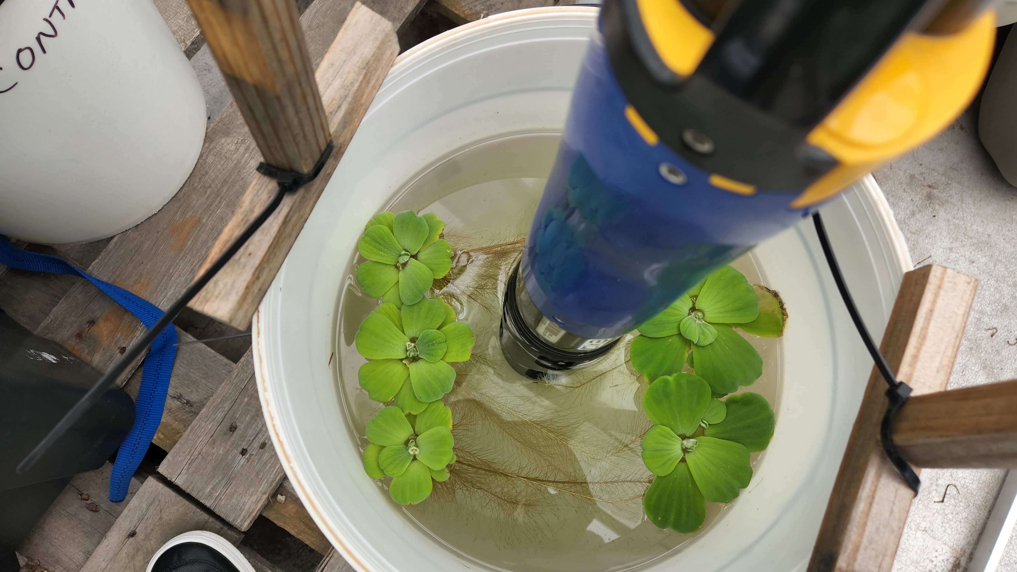
- The development of methods where fourth industrial revolution technologies, including geographical information systems (GIS) and remote sensing, are used for creating spatial inventories, analysis and monitoring of freshwater ecosystems. Products developed include the biodiversity of freshwater ecosystems for South Africa, reporting changes in freshwater ecosystems to the Sustainable Development Goal sub-indicator 6.6.1a, mapping wetland vegetation, and quantifying rates of change in freshwater ecosystems for use in the red listing of ecosystems to the International Union for Conservation of Nature.
- Satellite and model product validation
- Earth observation algorithm development and model validation at relevant spatial and temporal resolutions to support the physical, biological and biogeochemical characterisation and changes in the southern African marine ecosystems.
- New satellite sensor applications development
- The CSIR is a member of the Sentinel 3 Ocean Colour validation team, as well as the Early Adopters of the NASA PACE mission, allowing the preparation and testing of appropriate processing chains and algorithms prior to satellite launch.
Capabilities
- Earth observation applications development
- Satellite-based decision support
- Bio-optical modelling
- Image-based ecosystem classification
- Time-series analysis
- GIS mapping and modelling of the geographic distribution and changes in the areal extent and changes in ecosystems and their characteristics
- Marine earth observation training
Steven Weerts