Natural environment
We use science, technology and engineering solutions to harmonise the natural environment, ensuring sustainability and delivering social and economic benefit for all.

Natural environment
We use science, technology and engineering solutions to harmonise the natural environment, ensuring sustainability and delivering social and economic benefit for all.
Natural environment
We use science, technology and engineering solutions to harmonise the natural environment, ensuring sustainability and delivering social and economic benefit for all.

Natural environment
We use science, technology and engineering solutions to harmonise the natural environment, ensuring sustainability and delivering social and economic benefit for all.
Focus areas
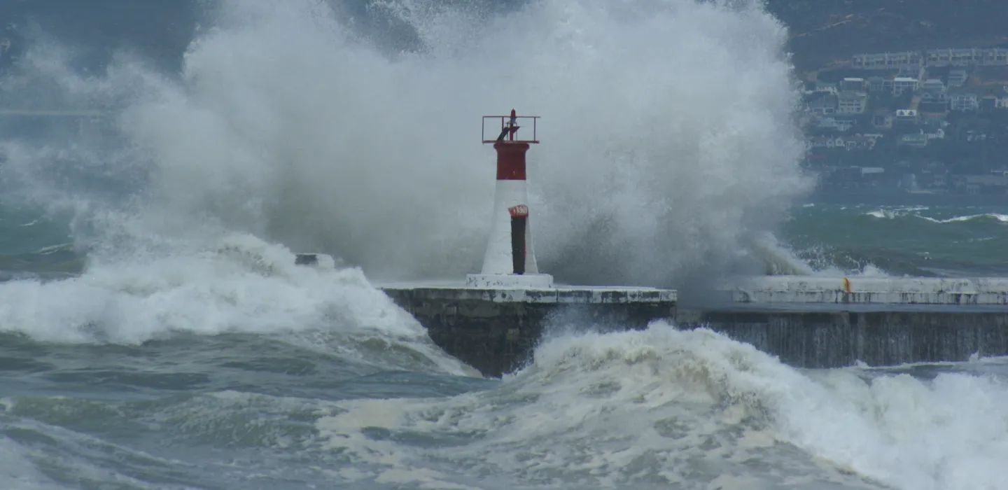
Climate change
We study Earth system components that influence the southern African climate and continuously strengthen our modelling capabilities to deliver reliable climate change projections and seasonal forecasts. This enables us to produce climate risk assessment products that support effective responses to climate change at regional, national, local and facility levels.
View more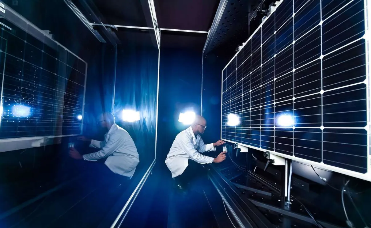
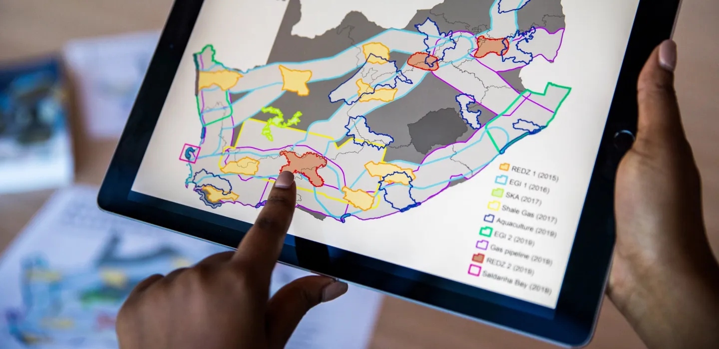
Energy
We advance energy technologies, model optimal carbon-neutral pathways and provide insights to regulatory authorities, markets and policymakers. Our work supports a just transition to reliable, efficient and clean energy in South Africa.
View more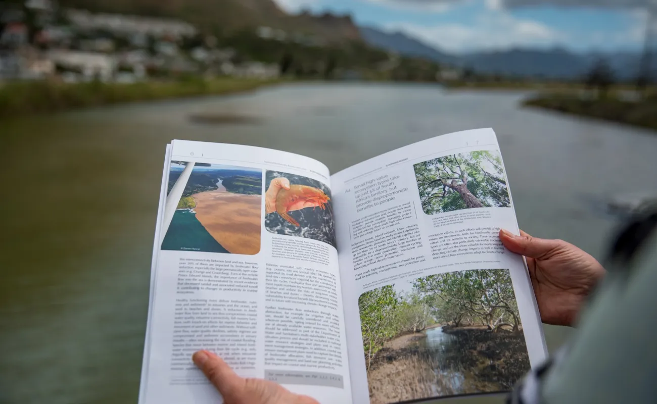
Sustainable Ecosystems
We support environmental and sustainability decision-making through addressing risks and opportunities associated with a changing natural environment, pollution and the consumption of natural resources to enable sustainable development across the industry sectors of South Africa and the continent.
View more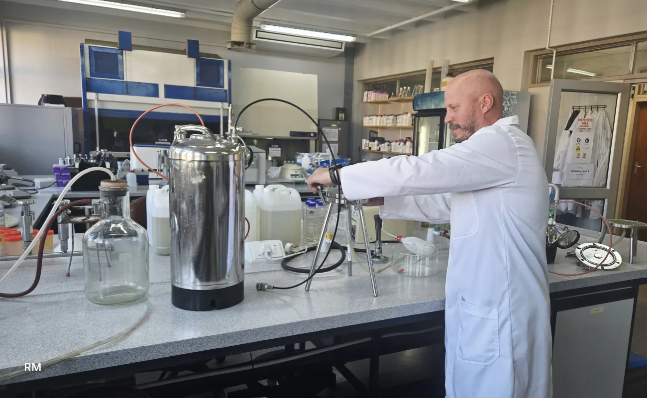
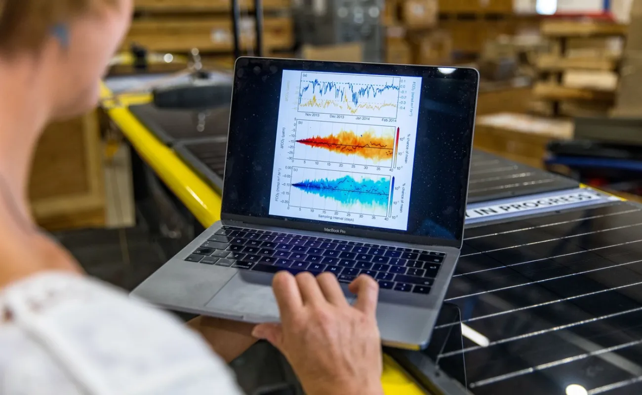
Water
We develop technologies and solutions to improve water and wastewater management. Our work focuses on the sustainable management of water resources and infrastructure to ensure the continued availability of high-quality water, even amid climate change, environmental pressures and other water-related challenges.
View more