Built environment
We use science, technology and engineering solutions to harmonise the built environment, ensuring sustainability and delivering social and economic benefit for all.
Built environment
We use science, technology and engineering solutions to harmonise the built environment, ensuring sustainability and delivering social and economic benefit for all.
Built environment
We use science, technology and engineering solutions to harmonise the built environment, ensuring sustainability and delivering social and economic benefit for all.
Built environment
We use science, technology and engineering solutions to harmonise the built environment, ensuring sustainability and delivering social and economic benefit for all.
Focus areas
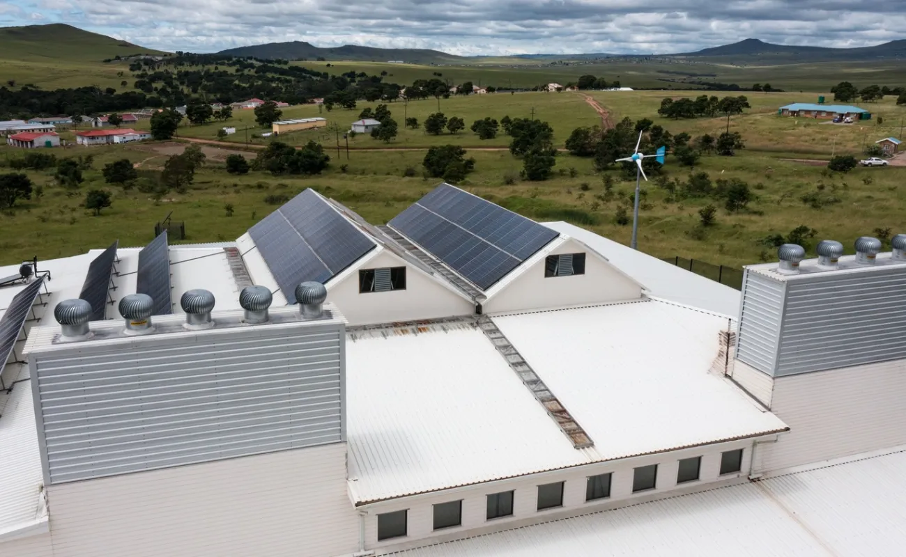
Building infrastructure
We drive innovation in the built environment through multidisciplinary approaches that apply science, technology and innovation with contextual awareness and a focus on sustainability. Our key focus areas include climate-resilient building design and strategic asset management.
View more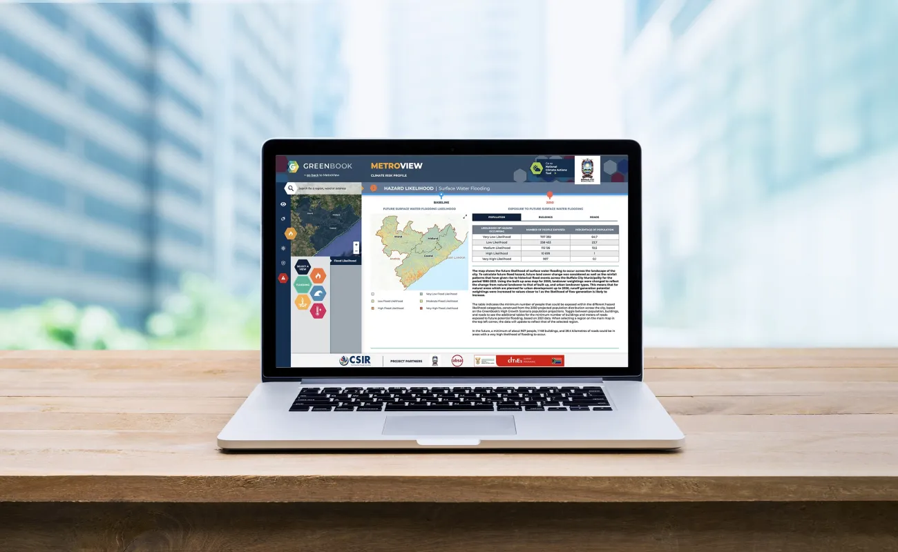
Human settlements and regions
We develop decision support tools to inform the design and maintenance of sustainable human settlements, with the goal of achieving integrated spatial transformation. Our work includes housing and urban studies, through which we provide insights and recommendations on urban and regional planning dynamics.
View more