[X]

Enhancing crop management, using drones

Leveraging the power of data observation to provide the South African agricultural community with digital solutions to mitigate against climate change, crop disease, and pests.

Low rainfall, extremely dry seasons, swarms of pests such as the locust infestation during the summer season of 2021/22, and incidences of disease run the risk of destroying South African crop fields, amounting to losses of several million rands. To mitigate this, and arm farmers with the information to foresee and appropriately manage risks, the CSIR is developing a precision agriculture information system.

The system utilizes earth observation, climate change modelling, big data, and data analytics to support decision making in land-use planning, to predict yields and inform markets, and to monitor pests and diseases. The system will provide actionable information on soil and crop condition to farmers at farm-scale in near real-time.

The system has three main anchors:

  • satellite and drone data. This allows for the assessment of vegetation indices of crop health; drought risks; and rainfall and temperature data.
  • soil and crop variables to detect diseases, pests, weeds, etc.
  • by making recommendations based on data collected. For example, accurate management recommendations of the time, place and rate of fertiliser application will address any nutrient deficiencies identified.
     

The actionable data will be delivered to farmers and other actors at all levels of the agricultural value chain on desktop and mobile platforms. This one-of-a kind information system is intended to provide risk management solutions and support to small and emerging farmers. This will result in increased food production and efficiency of production, enhanced interaction between extension services and farmers and will foster the implementation of government’s agricultural policies.

Additional information on the CSIR’s crop management information system can be found further down this page. A contact form is also available for your convenience, should you wish to engage further with the CSIR’s precision agriculture experts.

The CSIR, in collaboration with the Department of Science and Innovation and the Agricultural Research Council, is developing a precision agriculture information system that uses drones and other transformative technologies to support farmers with near real time information to enhance decision making on the farm.
Drone technology in agriculture
Support for emerging farmers
CSIR Drone Technology
Drone in support of emerging farmers

Related Information

Fact sheet

Article

Drone technology to support emerging farmers

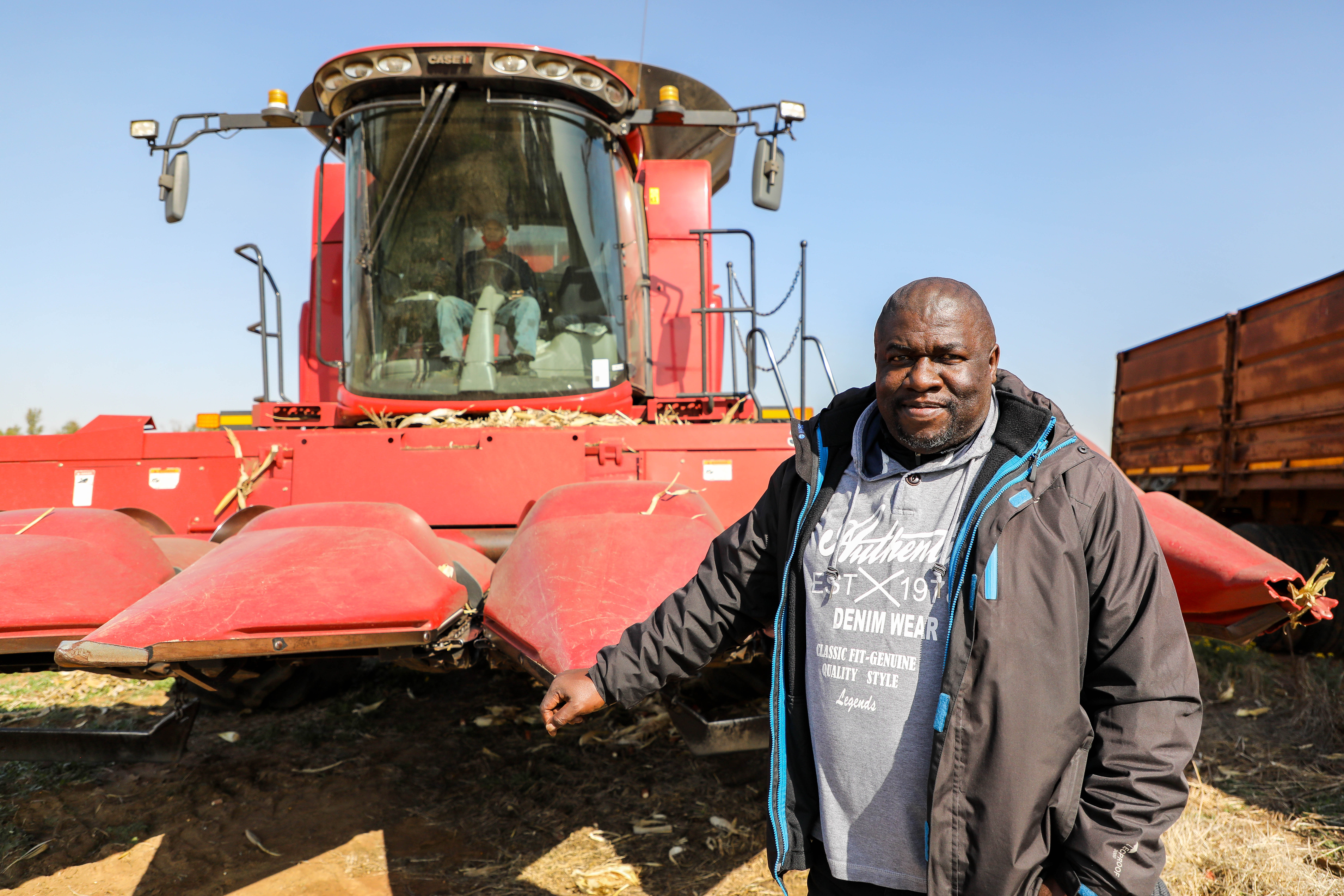
The CSIR and the Agricultural Research Council worked with emerging farmers to collect data from unmanned aerial vehicles (UAVs) during the 2019/20 and 2020/21 growing seasons to demonstrate the usefulness of such data and refine the precision farming methods.

This forms part of efforts by the CSIR and stakeholders in agriculture to develop a precision agriculture information system. The goal is to enable better cost optimisation and better surveillance of pest and diseases and yield prediction. For example, the CSIR has partnered with FarmSol Holdings, an Agricultural services company and SA Breweries partner, to digitally transform their maize production extension services via drone and satellite technologies and big data analytics.

UAVs are powered, re-usable automatic aircraft. They offer cost-effective means of bringing near real-time actionable information to support precision agriculture. Using drone imaging technology, farmers can timely detect and observe changes in crop condition or stress, thus enabling timely decision making to improve yield and quality of farm produce.

The solutions under development are needed by emerging farmers whose productivity is affected by changes in the environment, requiring them to take decisions on challenges such as crop health and growth, plant density and crop damage. 

Expert profiling

Cho’s research interests involve data analytics of earth observation or remote sensing data and development of applications and products that support planning and decision-making for Precision agriculture, and biodiversity conservation in rural and protected landscapes.

Testimonial